
A late Gothic winged altar carved in 1490 by Hans Klocker, a master sculptor of the Brixen school, stands in a village church at just over 400 m. No signage, no ticket desk, no queue. Pinzano appears on nobody’s must-see list, which is exactly why it is worth a morning.
Where is Pinzano?
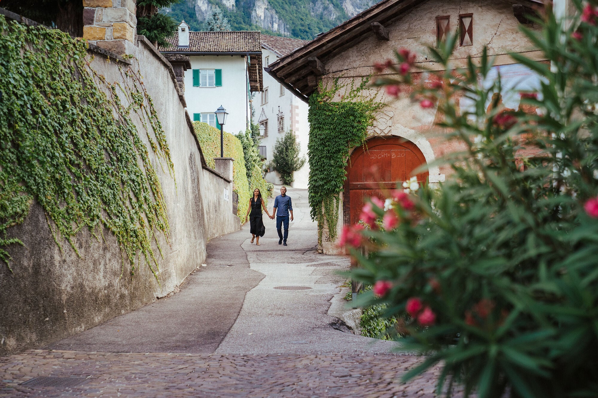
In South Tyrol, the German-speaking Alpine province of northern Italy, half an hour south of Bolzano on the rim of the Dolomites. Pinzano — Pinzon in German — is a hamlet in the municipality of Montagna (Montan) on the South Tyrolean Wine Road, its centre between 390 and 430 m. Below lies the flat floor of the Adige valley; above, the slopes climb towards Gleno. Everything in between is vineyard.
A practical note: every place here has two names, German and Italian, and both appear on signs. Pinzano is Pinzon, Gleno is Glen, Montagna is Montan, Ora is Auer. The province is officially bilingual and locals switch freely between the two.
Wine explains the rest. The microclimate gives hot days and cool night winds, which suits a delicate red grape: it ripens in the daytime heat and recovers overnight, keeping its acidity. Hence so many small producers on a few square kilometres of hillside.
What is there to see in Pinzano?
- The church of Santo Stefano (St Stephan): the Hans Klocker altar of 1490 and a historic Wörle organ. Village churches here are often unlocked by day, but not always; if the door is shut, ask locally rather than assuming it is closed to visitors.
- Piazza Santo Stefano with its fountain — where the village gathers, and the place to stop and look at the façades.
- Pinzoner Keller: a historic wine cellar, recognisable by the naïve paintings on its façades.
- The Saltner tower, standing among the vines. A Saltner was the vineyard guard, employed to watch ripe grapes in the weeks before harvest — a job that no longer exists, of which the tower is the surviving trace.
- The ruins of Castel Caldiff to the south-west: a ruin rather than a visitable castle, but a good target for a short walk.
The Montagna – Pinzano – Gleno walking loop
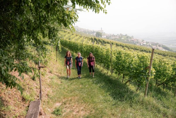
6.4 km, 2 hours, 208 m of ascent and the same of descent, graded easy. The loop starts at Café Sportbar in Montagna (410 m) by the sports ground, passes through Pinzano, climbs to Gleno at 613 m and returns downhill. It is the best way to see the village, arriving on foot from below rather than by road.
- From Montagna (410 m), take Via Kaltegg and follow path no. 5.
- Continue on path 4 and then path 1 towards Pinzano, mostly along village lanes.
- Past Pinzano comes the one demanding section: a steep climb through chestnut woods to Gleno, 613 m, the high point.
- The return follows the “Bahnweg” and path 4B along the trackbed of the old Val di Fiemme railway — steady gradient, shade, and the odd sensation of walking a line that no longer exists.
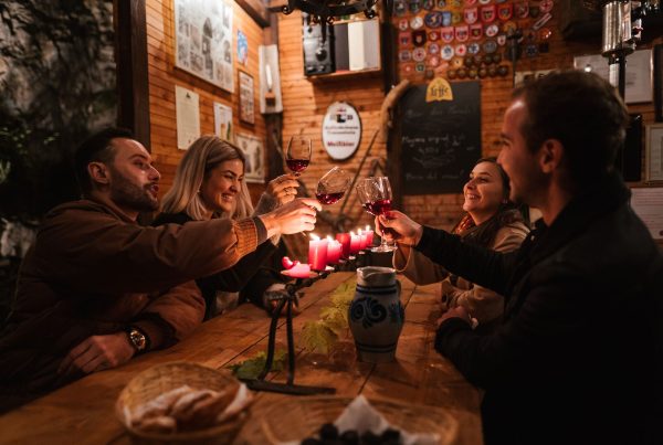
Spring and autumn are the best seasons; in summer the chestnut woods help, but the first section is open to the sun. Three places along the route serve food and wine: Pinzonerkeller, Hofschank Lexnhof and Planitzer. A Hofschank or Buschenschank is a legally defined South Tyrolean institution: a working farm serving its own wine and food on its own premises, for a limited number of days per year. That cap is why one may be open in October and shut in May, so check before building a walk around lunch. Bring cash.
Why does the return path follow a dismantled railway?
Because a train ran through here until the 1960s. The Val di Fiemme railway linked Ora with Predazzo across 50.5 km, climbing 873 m — from 224 m to 1,008 m — at a maximum gradient of 42 per mille. Austro-Hungarian military engineers built it during the First World War: Ora–Cavalese opened on 23 June 1917, Cavalese–Predazzo on 1 February 1918. The purpose was military — moving a complete infantry brigade from the valley floor into the Fiemme valley within 24 hours.
After the war it became a civilian line, was electrified at 2,600 V DC in 1929 and closed in 1963. The trackbed is now a route for walkers and cyclists, and Gleno holds its most photogenic survivor: a stone viaduct 73 m long.
The Thalerhof, and why place names are political here
In Gleno stands a farmhouse called the Thalerhof, bought in 1906 by Ettore Tolomei as a summer residence. Tolomei is the man who translated South Tyrol’s place names into Italian. Almost every Italian name on this valley’s bilingual signs comes from that work — which is why Glen is also Gleno and Pinzon is also Pinzano.
The history remains a live subject of debate in South Tyrol, and a travel article will not settle it. But it is useful context for a visitor wondering why a small province prints everything twice: the bilingual signage is not decoration, it is the outcome of a contested twentieth century.
From Hermann Hof
Gleno is the loop’s high point at 613 m, while the hamlet spreads between 520 and 580 m on the south-western slopes of Monte Cislon. It has 69 residents, two clusters of houses along the road towards Trodena, a chapel dedicated to Saints Cosmas and Damian, and a waterfall on the Trodena stream below the Valle dei Molini. The name comes from the Latin colonia: Roman clearing and settlement.
The five apartments at Hermann Hof are in a converted farmhouse in this hamlet, and the Montagna – Pinzano – Gleno loop runs right past it. Walk it anticlockwise, dropping down to Pinzano first and returning through the chestnut woods, or do half and turn back. No car to start, none to get home — which matters more than it sounds on a route with three places to stop for a glass of wine.
Photo: Thomas Monsorno
Transparency note: this article was written with the assistance of artificial intelligence tools, based on publicly available sources, and checked by our team.