
The footpath linking the village of Montagna to the hamlet of Gleno is 6.4 km long, takes 2 hours and climbs 208 metres — which means day one of this route needs no car at all. The other two days take you to the warmest bathing lake in the Alps and into a gorge 400 metres deep.
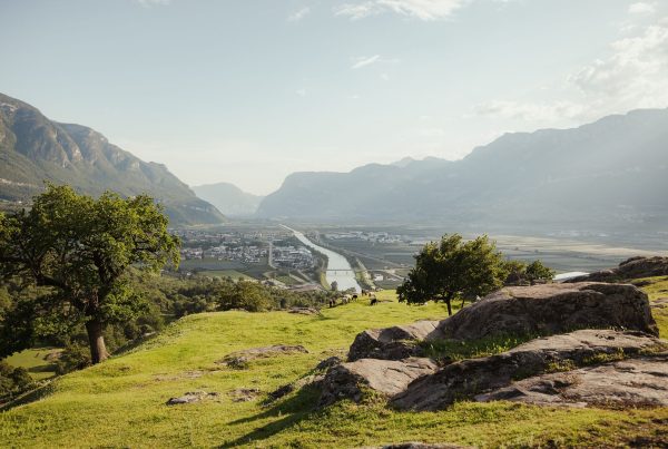
Orientation first: this is South Tyrol, the German-speaking province at the top of Italy, in the Adige valley below the Dolomites, roughly 30 km south of Bolzano (Bozen). Every place name has an Italian and a German form, and both appear on the signs.
Do you need a car for this itinerary?
For days 2 and 3, yes. Day 1 is entirely on foot from Gleno. The lake, the market towns and the Bletterbach gorge are reachable by regional bus, but timetables thin out in the late afternoon and on Sundays, so a hire car turns three half-days into three full ones. By train, the Brenner line runs down the valley from Innsbruck and Bolzano, with stations at Ora (Auer) and Egna-Termeno.
Day 1: the vineyards on the doorstep
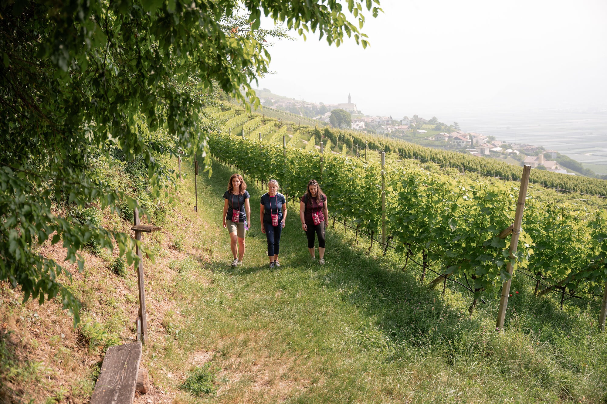
The Montagna–Pinzano–Gleno circuit covers 6.4 km in about 2 hours, with 208 metres of ascent, graded easy. It starts at the Café Sportbar in Montagna (Montan) at 410 m and reaches Gleno at 613 m. The return leg follows the trackbed of the dismantled Val di Fiemme railway.
Waymarks, in order: Via Kaltegg, path no. 5, path 4, path 1, the “Bahnweg”, no. 4B. Underfoot it varies — village lanes, a steep pull through a chestnut grove, then the broad old railway line.
A shorter option
The Pinot Noir Trail (Blauburgunderweg) runs 16 km with three circular variants. The one that suits Gleno is Montagna–Gleno–Montagna: 4.1 km, 1 hour 15 minutes, 180 metres of climb, through the vineyards between Mazzon, Gleno and Pinzano, planted up to 1,150 m.
What to stop for in Pinzano
- Church of St Stephen: a late Gothic winged altar by the Brixen master Hans Klocker, dated 1490, plus a historic Wörle organ.
- Pinzoner Keller: an old wine cellar, recognisable from the naïve paintings across its façades.
- Saltner Tower: among the vines. The Saltner was the hired watchman who guarded the ripening grapes.
- St Stephen’s Square with its fountain, and the ruins of Castel Caldiff to the south-west.
Give the afternoon to a local winery. Almost all are small and receive visitors by appointment only, often the same day if you ring in the morning — turning up unannounced rarely works.
Day 2: why is Lake Caldaro the warmest lake in the Alps?
Because it is shallow. Maximum depth is just 5.6 metres, so the sun warms the whole body of water rather than the surface alone, and summer temperatures reach 28 °C. At 147 hectares it is also the largest natural bathing lake in South Tyrol, at 425 m above sea level.
- Walk around the lake: 7.5 km, roughly 90 minutes, flat.
- Lakeside bathing establishments open mid-May to end of September, among them Lido Lago di Caldaro and Gretl am See, home to South Tyrol’s only windsurfing school.
- Entry runs at about 7.50 € for adults, less for children and after 5 pm. Prices reset each season.
Then head into Caldaro (Kaltern) itself, a town of 8,161 people built around its market square. Kellerei Kaltern has a winecenter and a wine bar called 1900, and above the town stands the ruin of Castelchiaro. The Mendola funicular, running since 1903, climbs to 1,363 m. With time to spare, add Termeno (Tramin) to the south — the village that gave Gewürztraminer its name, 28 km from Bolzano.
Day 3: Roman-era hilltop or 400-metre canyon?
Two very different choices. Castelfeder is an easy 5 km walk over an archaeological hill of dry meadow and oak wood, comfortable in half a day. The GEOPARC Bletterbach means about 3 hours inside a gorge and fills the day completely.
Option A: Castelfeder and Egna
Castelfeder is a 108-hectare protected biotope in the municipality of Montagna, between 222 and 408 m. The standard circuit is 5 km with 180 metres of ascent, about 2 hours; the path to the acropolis is roughly 2 km. Archaeologists have identified over 160 building foundations from different periods, the oldest settlement being a village of the Raeti, the pre-Roman people of these valleys.
Just south lies Egna (Neumarkt), a medieval market town whose main street runs beneath the Lauben, arcaded porticoes on both sides. Since 2014 it has been listed among “I Borghi più belli d’Italia”, Italy’s association of its most beautiful small towns. Lunch here.
Option B: GEOPARC Bletterbach
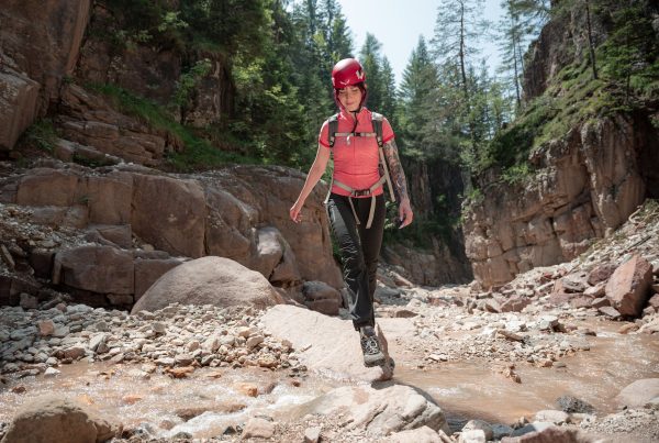
The Bletterbach gorge is 8 km long and 400 metres deep, part of the UNESCO Dolomites World Heritage Site. The geological trail takes around 3 hours. A helmet is compulsory, hire included in the ticket: about 9.00 € for adults, free up to the age of 14. Open 1 May to 31 October.
- Visitor Centre, Aldino (Aldein): 9.30–18.00, Lerch 40, 39040 Aldino (BZ), tel. +39 0471 886946.
- GEOMuseum, Redagno (Radein): 9.30–17.30.
- The ticket covers gorge, exhibition, GEOMuseum and helmet hire.
How does the season change the plan?
Two of the three days shrink in winter. The lidos on Lake Caldaro open only from mid-May to the end of September, and the GEOPARC Bletterbach closes from 1 November to 30 April. The lake circuit, the towns and the low-level paths stay open all year.
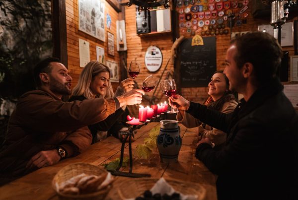
- Spring and autumn: the best window for the Montagna–Pinzano–Gleno circuit. Autumn also brings Törggelen, the harvest-season eating tradition, from early October to late November.
- Summer: lake early, shaded chestnut-wood paths in the afternoon.
- Winter: swap day 3 for Egna and Castelfeder, both open year-round.
From Hermann Hof
Gleno is a hamlet of 69 residents on the south-western slopes of Monte Cislon, split into an upper and a lower settlement along the road towards Trodena. The Hermann Hof apartments sit in a farmhouse surrounded by three hectares of woodland and vines, so day 1 begins where you are standing. Having a kitchen matters more than it sounds: rural restaurants keep short hours and close one day a week. Two things worth finding on foot are the Gleno viaduct, a 73-metre stone bridge on the old railway, and the waterfall on the Trodena stream north of the hamlet.
Photo: Thomas Monsorno
Transparency note: this article was written with the assistance of artificial intelligence tools, based on publicly available sources, and checked by our team.