
Enn Castle opens to the public exactly once a year, in August, for the village band’s concert. Every other day of the year you look at it from the outside — from the road, from the vineyards, from the paths climbing towards Gleno. Worth knowing before you set off, because a great many visitors arrive expecting a castle tour and find a private gate instead.
Where is Montagna, and how do you get there?
Montagna (German: Montan) sits at 410 metres on a sunny plateau above the Adige valley, in the southern part of South Tyrol, roughly half an hour south of Bolzano and on the edge of the Dolomites. It lies along the South Tyrolean Wine Road, the string of wine villages running down the valley from Bolzano towards Trentino.
Getting here without a car is possible but takes planning. The railway line between Bolzano and Trento runs along the valley floor below the plateau, and local buses climb from the valley up to the village. Services are built around residents rather than visitors, so they thin out in the evenings and at weekends. Check the current South Tyrol public transport timetables for stations, routes and journey times before relying on them.
One thing that confuses first-time visitors: this is a bilingual province. Every place has an Italian and a German name, both official, and road signs carry both. Montagna and Montan are the same village.
A village made of hamlets
Montagna is not a single settlement with a high street. The municipality is a scattering of small hamlets spread across vineyards and chestnut woods, each with its own church or chapel and its own name:
- Doladizza
- Pinzano (Pinzon)
- Gleno (Glen)
- Casignano
- Montagna Nuova
Gleno, where our apartments are, is one of them. So the places described below are not day trips from a base somewhere else — they are the immediate neighbourhood.
Enn Castle: what you can and cannot see
Enn Castle (Schloss Enn) was built in the 12th or 13th century and is the emblem of the village, but it is not a visitor attraction. It opens to the public once a year, in August, for the concert given by the village brass band. There are no tickets, no scheduled guided tours and no opening hours.
Seen from outside it still earns the walk. The castle sits on a rise with vineyards falling away below it and mountains behind, and it is the silhouette you will recognise in every photograph of this stretch of valley. If you are here in August, ask locally about the concert date — it is a village evening rather than a tourist event, but the gates are genuinely open.
The churches: San Bartolomeo and Santo Stefano
Montagna’s parish church is dedicated to Saint Bartholomew. The building itself is neo-Romanesque, a 19th-century style, but its bell tower dates from the 13th century and is far older than the church around it — a common pattern in South Tyrol, where towers survive rebuilds. Down in Pinzano stands the church of Santo Stefano, on the square with the fountain.
Both are half-hour stops rather than half-day ones. Small rural churches here are often locked outside service times, so treat an open door as luck rather than a plan.
Why is this Pinot Noir country?
Montagna is known as the kingdom of Pinot Noir, and the figure that explains it is altitude: the Pinot Noir vineyards here climb to 1,150 metres. That is remarkably high for a red grape. Cool nights at that elevation preserve acidity and slow ripening, which is exactly what this variety needs and what gives the local wine its structure.
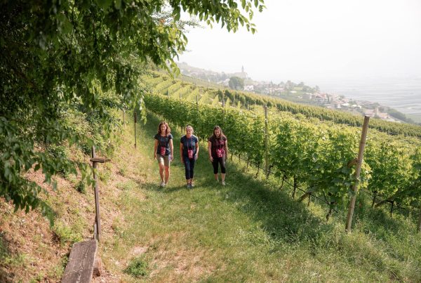
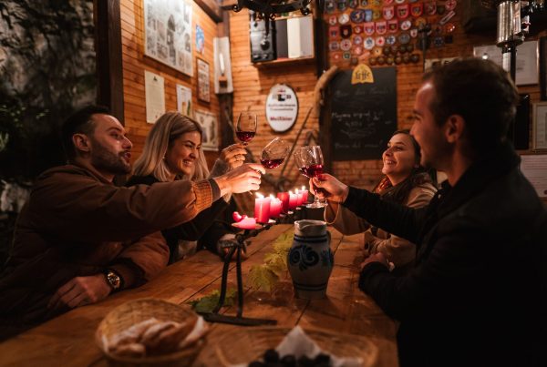
The Pinot Noir Trail (Blauburgunderweg) starts in Montagna and runs through the vineyards between Mazzon, Gleno and Pinzano. Wineries and Buschenschank — farm taverns licensed to serve their own wine and food — keep seasonal or by-appointment hours, so phone ahead, particularly outside the summer months.
The Montagna – Pinzano – Gleno circuit
This is the walk that ties the whole municipality together: 6.4 kilometres, about 2 hours, 208 metres of ascent, graded easy. It starts at the Café Sportbar in Montagna at 410 metres, by the sports ground, and reaches Gleno at 613 metres by way of Pinzano.
- Distance: 6.4 km
- Time: 2 hours
- Ascent: +208 m / −208 m
- Grade: easy
- Start: Café Sportbar, Montagna, 410 m
- Waymarks: Via Kaltegg, path no. 5, path 4, path 1, “Bahnweg”, no. 4B
The best section is the return, which follows the trackbed of the old Val di Fiemme railway — a narrow-gauge line long since closed — so the descent is steady and gentle the whole way. On that trackbed below Gleno stands a 73-metre stone viaduct, one of the surviving structures of the line. Spring and autumn are the best seasons: in high summer the climb through the chestnut wood is hot work.
Castelfeder, in the same municipality
The Castelvetere/Castelfeder recreation area falls within the municipality of Montagna. It is a porphyry hill of dry meadows, warm rock and long views over the valley, used by local people as walking ground for generations, and it works all year rather than only in summer.
From Hermann Hof
Hermann Hof is in Gleno, inside the municipality of Montagna, so the hamlets, the churches, the high Pinot Noir vineyards and the old railway trackbed are all on your doorstep. The Montagna – Pinzano – Gleno circuit passes through Gleno itself: walk it in reverse, straight from the door, and you never need the car.
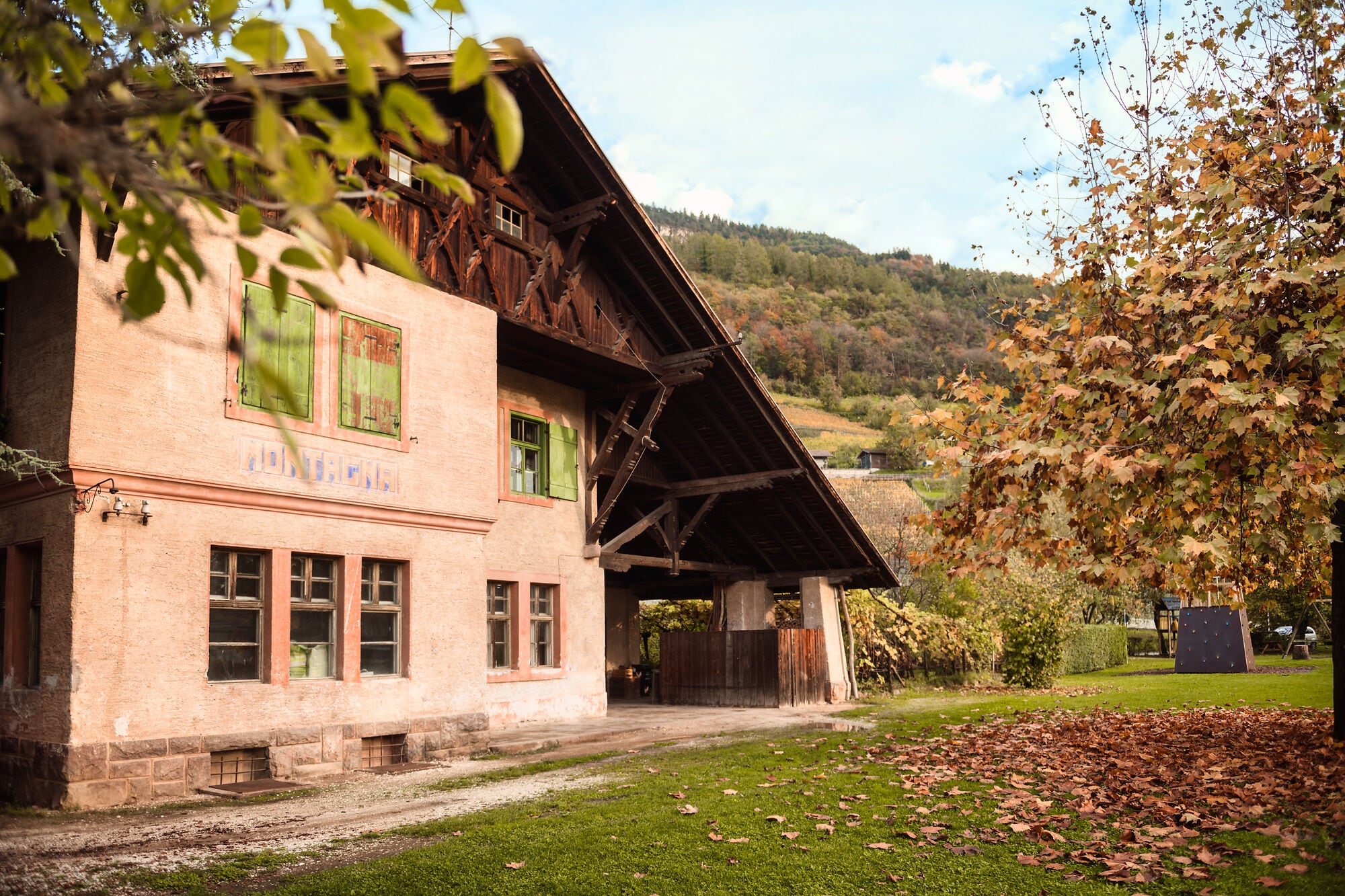
The house is a converted farmhouse, designed for this spot: five apartments, sun through the whole day and the road to Trodena in front. Everything else — the castle from outside, a glass in a cellar, the climb through the chestnuts — starts on foot.
Photo: Luca Dal Gesso
Transparency note: this article was written with the assistance of artificial intelligence tools, based on publicly available sources, and checked by our team.